Enhancing Farm Productivity with Crop Maps

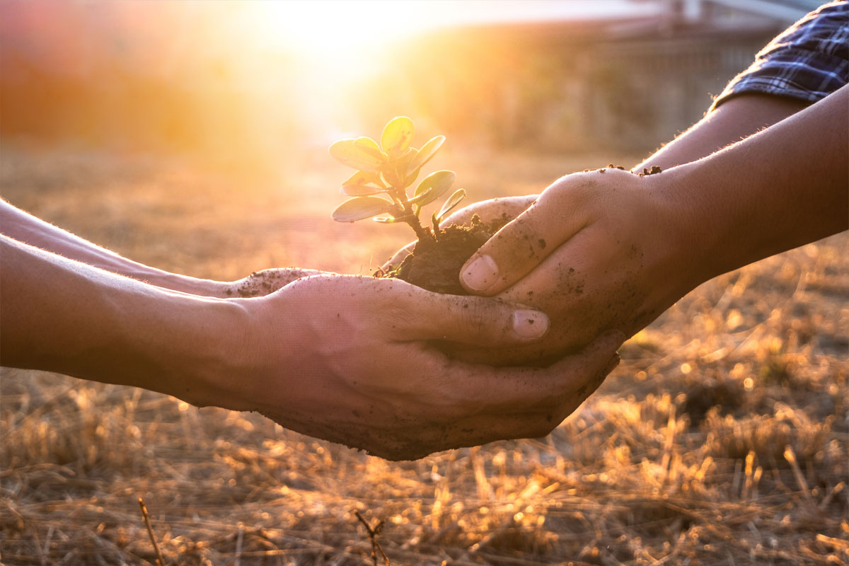
Proper resource management is a diamond in the crown of today's agriculture. It is what helps to support the balance between productivity increase and environmental sustainability. At the heart of this practice are innovative tools that have transformed the way farmers interact with the land. One such tool is a crop map.
Throughout farming history, maps have been a critical asset for growers. They enabled landowners to navigate agricultural land. Digital maps allow you to navigate even more accurately since the decisive factor is no longer experience but geodata.
Mapping agricultural fields is one of the pillars of precision agriculture. Mapping technologies make it possible to determine the exact location of all crops on a farm and obtain up-to-date data on the location of any crops and information on soil, food origin, moisture and nutrient content.
What are Crop Maps?
This tool provides essential data about various aspects of the crop and underlying soil. They are detailed remote-sensing images, often obtained with the help of satellites and drones. The Interactive crop map transforms complex data into understandable, valuable information for growers, helping them pinpoint problem areas in their fields.
Crop field map can have a wide range of different applications. It is a critical tool for early warning of crop shortages and productivity forecasts. These maps can also help assess the condition of crops or damage caused by extreme weather conditions. In the face of climate change, crop maps can also serve as mitigation and adaptation solutions.
Strategic planning can be taken to the next level using maps. The resulting data enables studying the long-term impacts of farming on ecosystem services and protecting the agricultural lands. The tool also helps to understand river water quality better and assess land use.
Enhancing Sustainability with Crop Maps
Targeted Application of Inputs:
Traditional farming methods typically involve distributing water and fertilizer evenly throughout the field. It is not economical and only sometimes meets the needs of the plants. What's the alternative? It is precisely what crop maps offer, allowing for a more targeted approach.
Guided by data, growers can apply resources only where and when necessary. Thus, several problems can be solved, from reducing the flow of chemicals into nearby bodies of water to reducing the overall negative impact of the industry on the environment.
Normalized Vegetation Difference Index maps enable agricultural businesses to accurately measure the amount of vegetation in their fields, assess soil conditions, and determine moisture levels. With their help, interested parties can sort out the various factors that influence the development of cultures. AgTech’s forecasting software uses NDVI maps to determine soil sampling and field expansion areas.
Optimizing Water Usage:
Today, water shortages are becoming a problem not only for arid regions. Humidity sensors, in combination with crop maps, help to accurately determine how things are with water in each plot of farmland. It is an invaluable solution for planning and strategizing precision irrigation designed to conserve a vital resource.
Precision irrigation combines technological advances with human expertise to use available water resources best. Combining data from crop mapping software and field research with GPS and GIS technologies provides the chance to manage water resources most efficiently. One way to determine the needs of plants and soil in a specific field area is by visualizing changes in soil moisture and plant stress and then placing sampling points coordinated by GPS for scouts. Growers can use this information to create a watering plan that is tailored to the specific needs of the plants and soil.
Promoting Soil Health:
Of course, growers want the soil to be fertile, providing them an opportunity to grow large quantities of high-quality crops. However, we all should remember that this ecosystem is vital to the environment's health. For this reason, maintaining soil health is extremely important, and excessive use of fertilizers and chemicals can ruin the delicate balance. The application of crop mapping helps to keep optimal soil nutrient levels by pinpointing where and how much intervention is needed, promoting long-term soil health and fertility.
Increasing Yields and Reducing Waste:
Crop maps are a powerful tool that can help farmers optimize their yields by providing detailed information about the health of their crops and soil. Achieving higher yields from the same area can reduce the need to clear additional agricultural land, thus preserving natural habitats and biodiversity. Precise fertilization and improved crop health can significantly reduce waste and spoilage.
A combination of satellite imagery and GIS data can be used to estimate crop yields by distinguishing soils and dense vegetation. Technological solutions enable the effective management of crops in different seasons and identify factors limiting yield. These precision agriculture maps are a visual tool to identify correlations between crop yields and field health indicators.
The Road Ahead: Challenges and Opportunities
The benefits of using crop maps for precision resource management are undeniable. However, their widespread implementation is associated with some difficulties. Mapping has historically required expensive and time-consuming field research. High prices do not allow this solution to be used in every part of the world.
The problem is that expensive field research is often conducted only in limited geographical areas. Due to the labelled fields not representing the entire area, the crop-type map cannot be accurately created for the whole region.
With the increasing availability of satellite imagery and its use in combination with some crop-type tags obtained through expensive field surveys, crop maps are becoming more accessible.
A Sustainable Future with Precision Agriculture
Integrating crop maps into agricultural practices is a significant step in sustainable food production. The tools for precise input allocation improve farming efficiency and significantly reduce negative environmental impact. With the rapid advancement of technology, achieving a balance between high field productivity and nature conservation becomes more a reality than a dream.
References
1 Overview EOSDA Crop Monitoring is a comprehensive web-based agriculture monitoring system by EOS Data Analytics - https://eos.com/products/crop-monitoring/
2 EOS Data Analytics blog - https://eos.com/industries/agriculture/crop-map/
3 Food and Agriculture Organisation -Crop mapping using remote sensing https://www.fao.org/in-action/water-efficiency-nena/activities/tools-and-methods/cropmappingrs/en/
4 Queensland Government- Crop mapping https://www.qld.gov.au/environment/land/management/mapping/statewide-monitoring/crops

Related Content